Rocky Mountain National Park
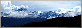
As you see by the green diagram, this is a good-sized park with a maze of roads. To simplify the galleries, I have arbitrarily separated the high peaks and overlooks from the rich parklands below. There are several 12,000 to 14,000-foot high peaks, which make for dramatic views.
Trail Ridge Road to the high peaks
Trail Ridge Road is the main, winding access from the moraine parks up to the 12,000-14,000-foot peaks which form the backbone of the park. There are a set of overlooks strategically located on the way up with views down on the lush valleys below and the towering peaks that fill the skyline.
Many Parks overlook, Rainbow Curve, Split Rocks, Forest Canyon and the Gore Range overlook offer parking lots so photographers can linger, but the road also has pullouts where cars can pause, take some pictures and move on.
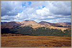
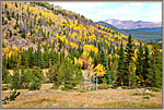
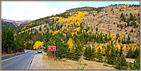
In late September, the hills on the lower slopes are decorated with aspens changing color. Above 10,000 feet, though, the trees end and the tundra begins. The mountaintops are rounded and barren.
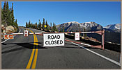
It snowed during my visit and the roads to the summits were then closed. That was very frustrating when the Sun came out on the final day.
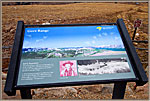
Arriving At Gore Range Overlook
Driving The South Road To Gore
Big Forest Seen From Rock Cut
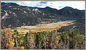
Parks And Valleys Below The Peaks
Down From Many Parks Through Aspens
Driving Down From Many Parks
Driving Down To Aspens - Short Version
Driving Through The Aspens
Horseshoe Park—The Alluvial Fan
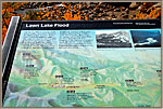
On July 10, 1982, a natural moraine dam above Horseshoe Park gave way, allowing 28 million gallons of water to plunge down into the park and all the way to the town of Estes Park!
The alluvial fan and the meadow that makes up the nearby park are two of the unusual features which distinguish the park. I had a few days of bad weather, but persistence allowed me to get photographs to show how rich and varied a place Rocky Mountain National Park is.
Flow From Under Umbrella
Flow Through Collapsed Dam
Rainy Day At Collapsed Dam
Alberta Falls
These Falls are accessed via a short hike, and is one of the most popular sites in the park. I happened to hit it on a rainy day and took most of the videos under an umbrella. Still, a beautiful and dramatic place!
Alberta Falls From 1st Point
Alberta Falls From 2nd Point
Alberta Falls-Flow Below Falls
Alberta-River With Distant Aspens
Alberta-Wet And Risky Footing
Sprague Lake
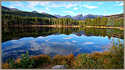
Sprague Lake lies along Bear Lake Road after the road exits from Moraine Park. This lake is very accessible, and in early morning has the sunlight on the Continental Divide in the distance. The soundtrack on the video illustrates the calm which isolation confers on the lake.
Sprague Lake ~ Calm
Carl Roessler
P.O. Box 33668
Las Vegas, NV 89133
voice: 702.562.0226
All material in this Web Site is Copyright © Carl Roessler
2025 - All rights reserved.
Maintenance by Patricia
of Visual Ad Worx
Modified 02.01.25

