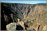
Black Canyon of the Gunnison
River From Chasm View
South Rim
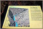
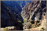
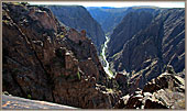
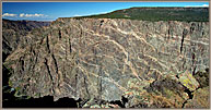
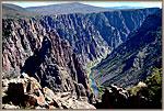
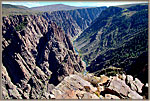
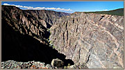
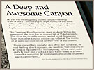
A geological upheaval raised the ancient volcanic rock we see in these galleries into the path of the river. Though the stone was extremely hard, the river over millions of years carved downward through it.In a place like the Grand Canyon, soft sandstone being eroded produced wide canyons. Here, the hardness of the stone resulted in vertical canyons.
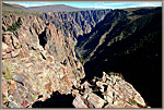
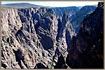
The main entrance is on the South Rim. Driving along the paved road along the rim offers a number of spectacular overlooks where we can see the rapids so far below that we must look closely to realize they are raging along, not stationary.
 |
 |
 |
 |
||||||
 |
 |
 |
 |
||||||
 |
 |
 |
 |
||||||
West Portal Road
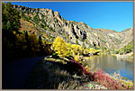
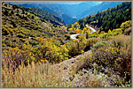
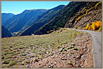
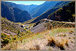
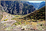
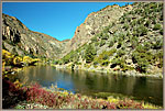
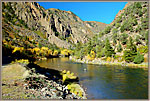
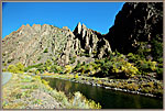
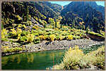
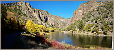
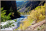
Near the South Rim entrance to the park, a side road called West Portal road winds steeply down to the river. It is beautiful, especially when the aspens are in their Fall colors. Fishermen drive down and wade out into the river. The area is very quiet unless one is next to the single small waterfall. Above us, the high cliffs of the canyon tower, and the silence is pervasive and calming.
 |
 |
 |
 |
||||||
 |
 |
 |
 |
||||||
 |
 |
 |
|||||||
Driving Down West Portal Road
Driving Along River ~ West Portal
Fishermen In River
Small Dam And River
Hillsides Covered With Aspens
Returning Along River at West Portal
Driving Up West Portal Road
North Rim
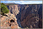
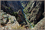
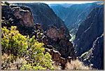
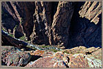
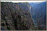
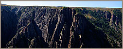
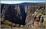
From the nearby town of Montrose, it is only thirteen miles to the South Rim entrance. To access the North Rim, however, we must drive for an hour and a half around the entire perimeter of the park, in part on dirt roads. The North Rim is therefore visited by far fewer travelers. That is a bonus for those of us who go there, because the views from the North Rim overlooks are spectacular!
 |
 |
| |||||||
 |
 |
 |
 |
||||||
 |
 |
||||||||
Grand Sweep of the Gunnison From Above
View Down on River Looking East
Looking East From Many Peaks
Rapids Below Kneeling Camel
River Below From Exclamation Point
Looking Down From Exclamation Point
Calm River Far Below
River Below Kneeling Camel
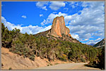
Needle Rock near Crawford
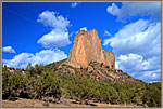
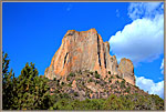
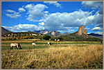
When we drive to the North Rim, we pass through the small farming community of Crawford. Just outside the town is an impressive rock formation known as Needle Rock. Needle rock is a splendid example of hard volcanic rock intruding as lava through cracks in softer sedimentary rock—after which the softer rock is gradually eroded away.
 |
 |
 |
 |
||||||
 |
 |
 |
|||||||
All material in this Web Site is Copyright © Carl Roessler
2024 - All rights reserved.
Maintenance by Patricia
of Visual Ad Worx
Modified
07.17.24
