When I began using drones as a photographic tool, I thought of scenic places I had visited where the drones’ ability to see what the birds see would add a dimension to the experience.
In 2015, I scheduled a new trip to the area, which includes not only Monument Valley, but the towns of Kayenta and Mexican Hat, the Valley of the Gods, Goosenecks State Park, the fabulous Moki Dugway switchback road and Natural Bridges National park.
Of these, all allow drone flights except Natural Bridges.
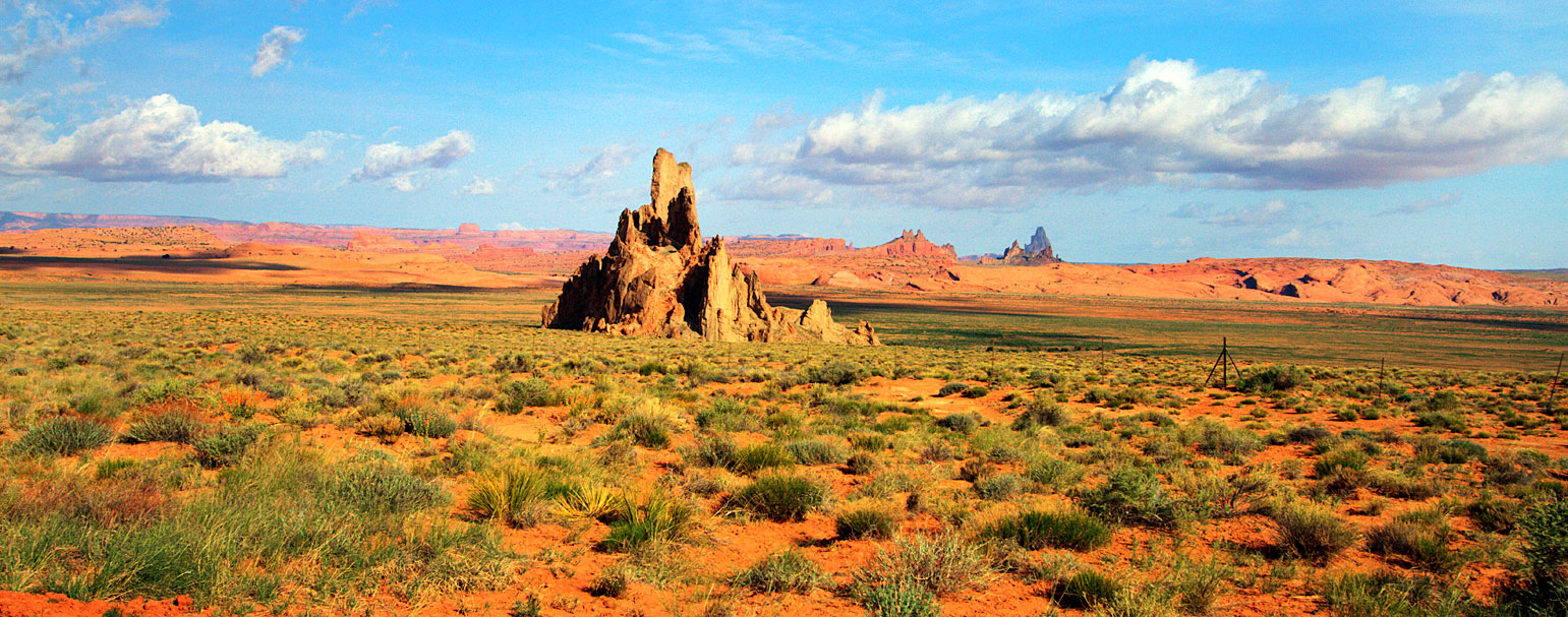
Near the town of Kayenta, driving in from the South, we find Church Rock and Agathla Rock, about twenty miles South of the entrance to Monument Valley.
Near Kayenta:
 |
 |
 |
 |
Twenty miles North of Monument Valley, the town of Mexican Hat has some scenic views of the San Juan River. It has another attraction, a rock formation that is the perfect spot for a drone to video.
A few miles North of Mexican Hat is a double bend in the deep canyon of the Colorado River, which has been made the Goosenecks State Park.
Quite close to Goosenecks is the Moki Dugway, a switchback road ascending an enormous stone rampart.
Finally, East of the Moki Dugway along the same rampart, we find the heart of Valley of the Gods. Think of it as a miniature version of Monument Valley, formed by the same geologic forces.


