Please also visit our non-drone galleries at California East Slope |
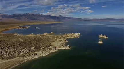
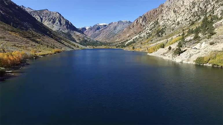
Fall 2017 Return To An Old Favorite - California’s East Slope
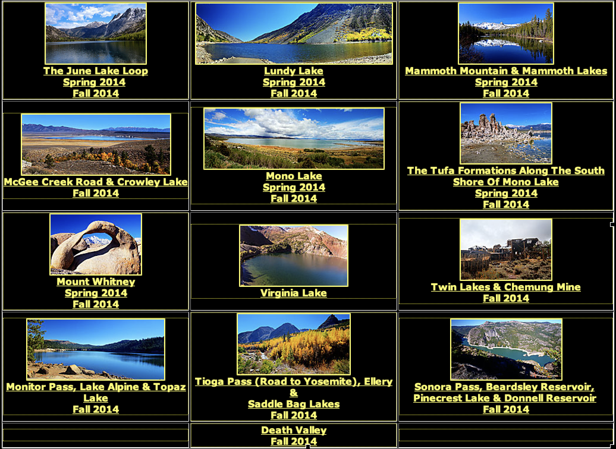
I visited this area just East of Yosemite National Park twice before, in the Spring and Fall of 2014. 2014 Videos are linked at the bottom of this page.
I was a brand-new drone pilot in the Fall of 2014. Consumer drones had just come on the market, and they were minimally suited to high altitudes or wind.
Three years later, the drones are heavier and stronger, the pilot is leavened by experience and even the weather was benign.
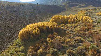
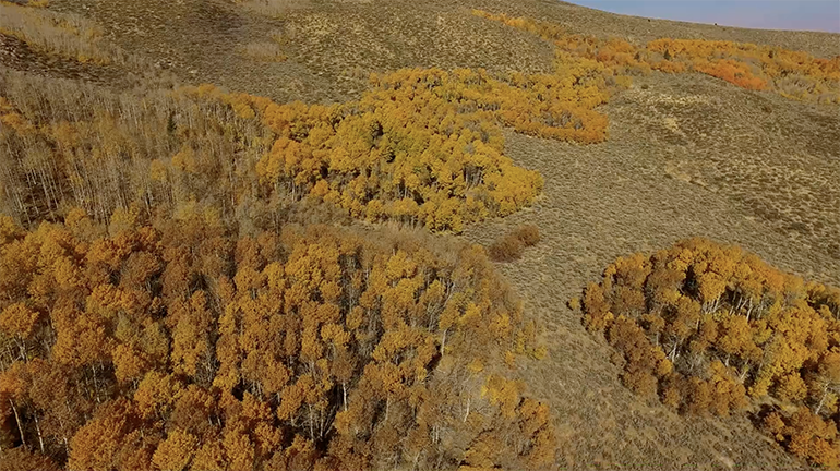
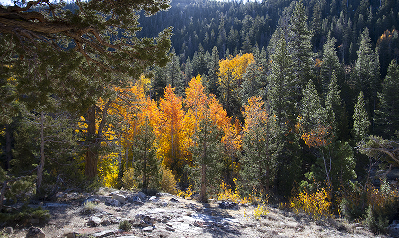
Because of a major shooting competition I covered during the first week of October I arrived in California rather late in the season. When I arrived the aspens were still wreathed in bright yellow. A few days later, they were a somber orange. Headed for brown. And then barren.
One of my California friends sent me an article, which said that the Fall foliage season had occurred late this year. My guardian angels pulled it off again!
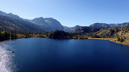
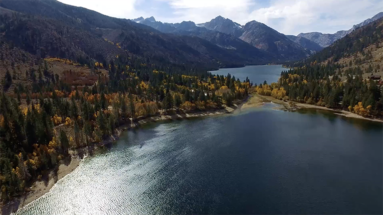
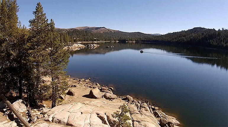
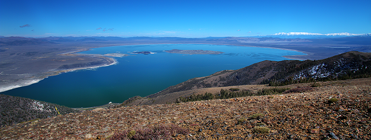
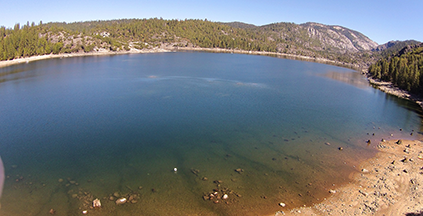
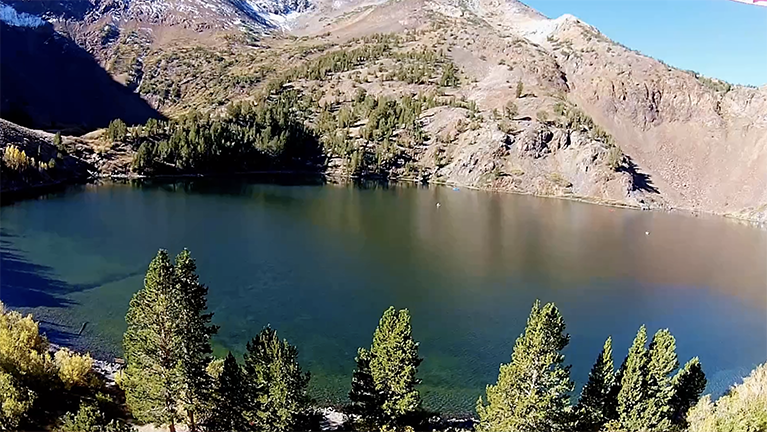
The June Lake Loop lies below Yosemite National Park near the entrance road up the mountains into the park. June, Gull, Silver and Grant Lakes lie along the loop, and on the map Lundy is the unnamed lake to the upper left of the loop.
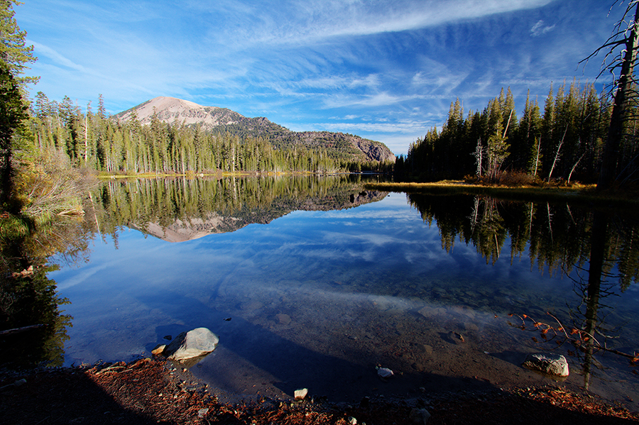
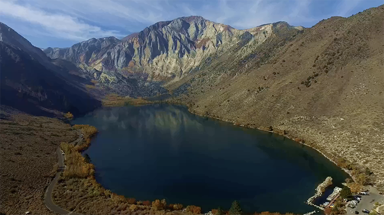
Mammoth Lakes lies twenty miles South on Route 395, and has six lakes and a waterfall outside of town, with Convict Lake not far away. The entire region is a photographer’s Paradise.
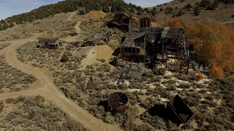
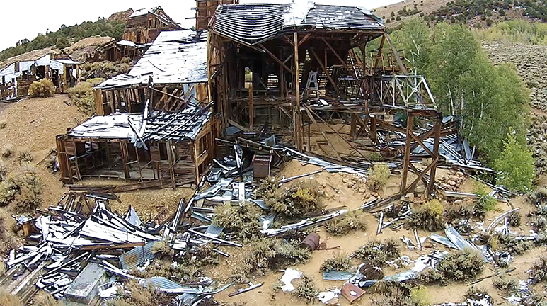
Bridgeport and the Sonora Pass lie 30-40 miles North of June Lake, with Leavitt Falls, Chemung Mine and the northern set of Twin Lakes near each other.
I did not return to the lakes on the Sonora Pass Road because I had covered them pretty well in 2014.
That allowed me to have more time in Mammoth Lakes.
I wish I had been here a couple of weeks earlier, when the colors would have been at this stage!
Fall 2014 |
||
Carl Roessler
P.O. Box 33668
Las Vegas, NV 89133
voice: 702.562.0226
fax: 702.562.0227
| Return to Home Page | E-mail Carl Roessler: divxprt@cox.net | Photos |
|---|
All material in this Web Site is Copyright © Carl Roessler
2024 - All rights reserved.
Maintenance by Patricia
of Visual Ad Worx
Modified 09.26.24
