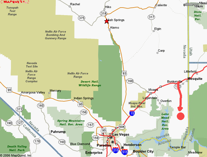
Little Finland and Devil's Throat Fall 2017
A brief return, three years later, to one of my early drone subjects. Devil's Throat and Little Finland are an hour from the nearest road across rugged desert, on rocky, twisting dirt roads. The roads are hard on car and driver, but worth every minute.As you'll see, there were some big, fast-moving clouds around while I was at Devil's Throat, so I had to time my take-offs to catch at least some moments of sunlight on the Devil's Throat.
In the wide-angle videos of Devil's Throat, you can see the 29-mile long road to the distant highway going off over the distant hills in the upper right, and a road angling across the center toward the mountains on the left. That is Mud Washington road (aptly named, as it is indeed just a mud wash) which takes us seven miles to the Little Finland mesa.