Route 128 to the East Land Photos Fall 2010 & 2011
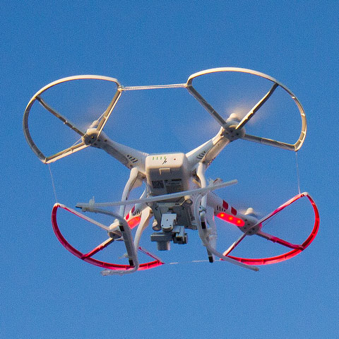
Aerial Photography Using Drones Fall of 2014
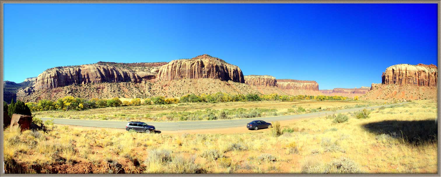
If we come down from the North on Route 191 and pass the turnoff to Potash Road, our next possible turn is East along the Colorado River Canyon. This winding road is known as Route 128.
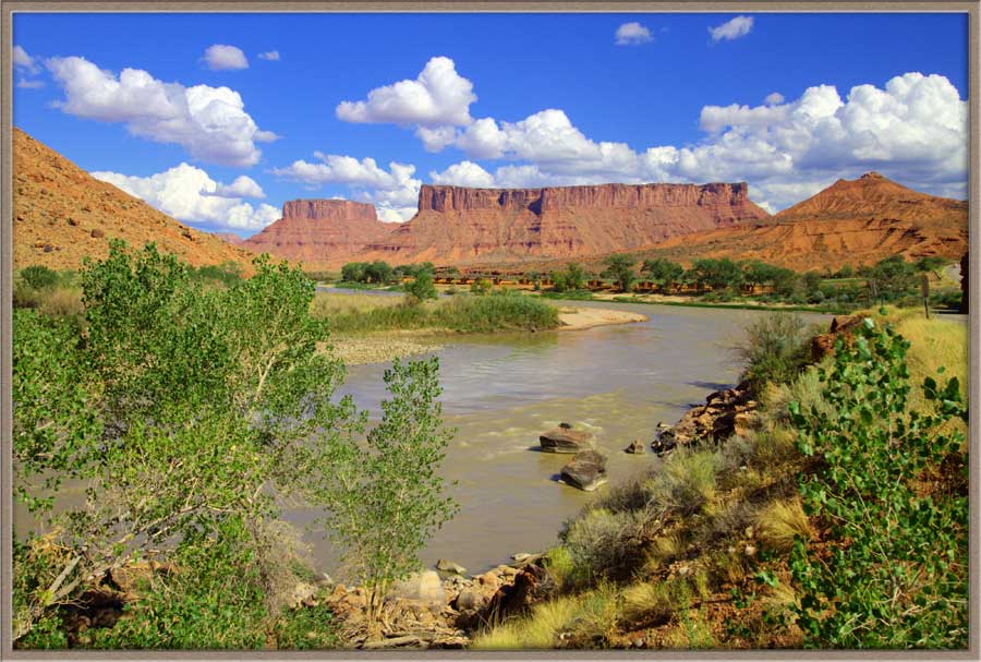
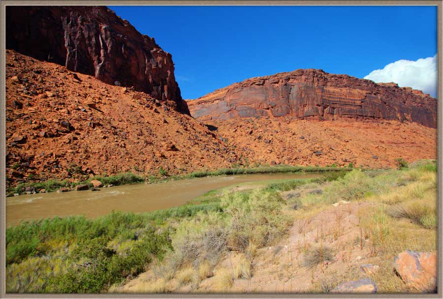
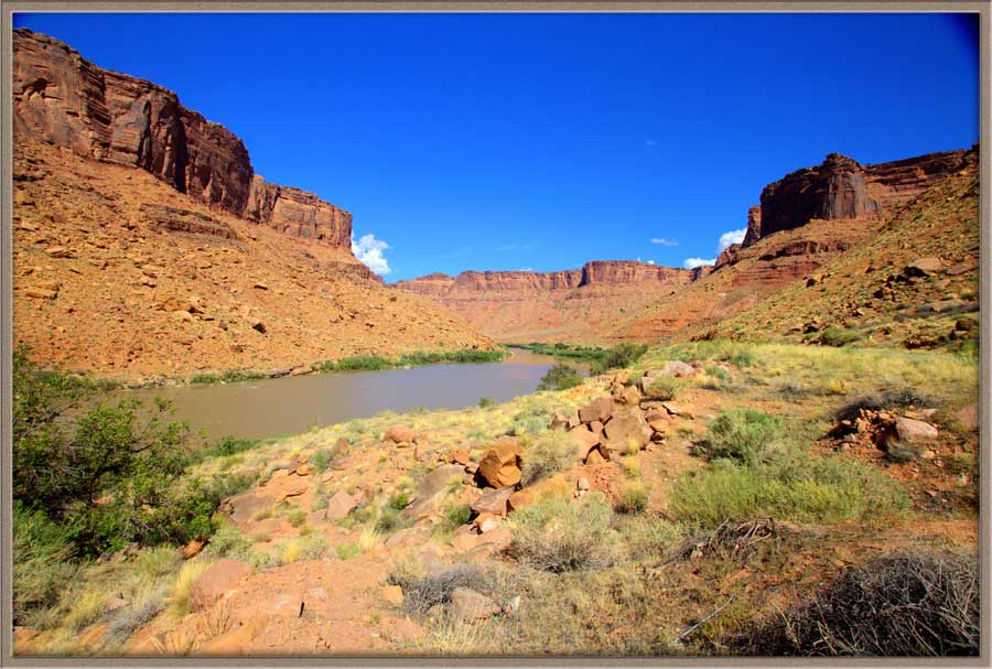
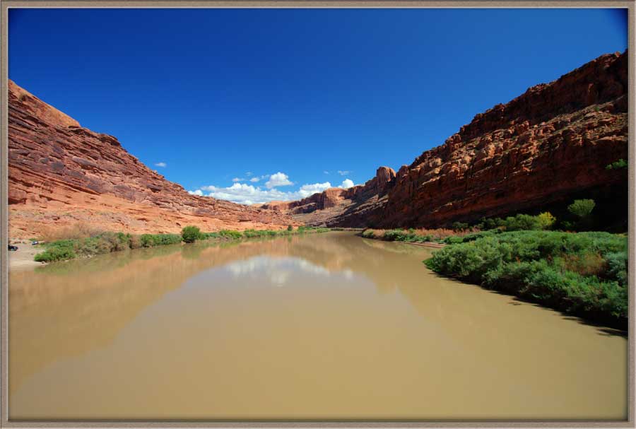
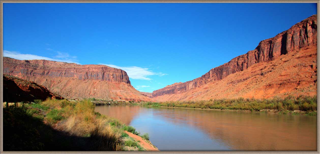
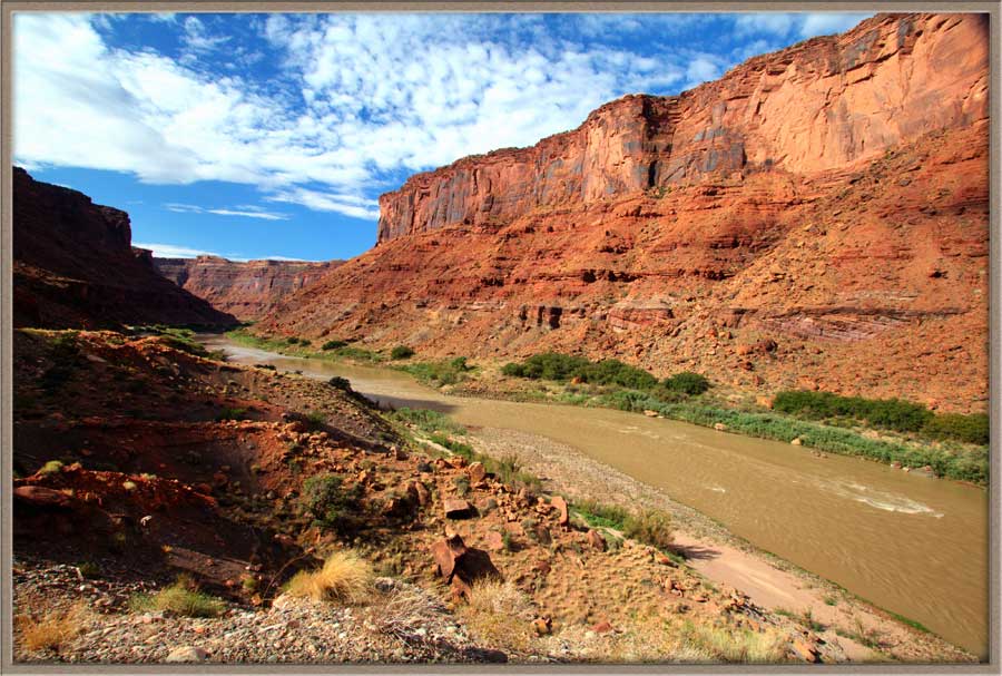
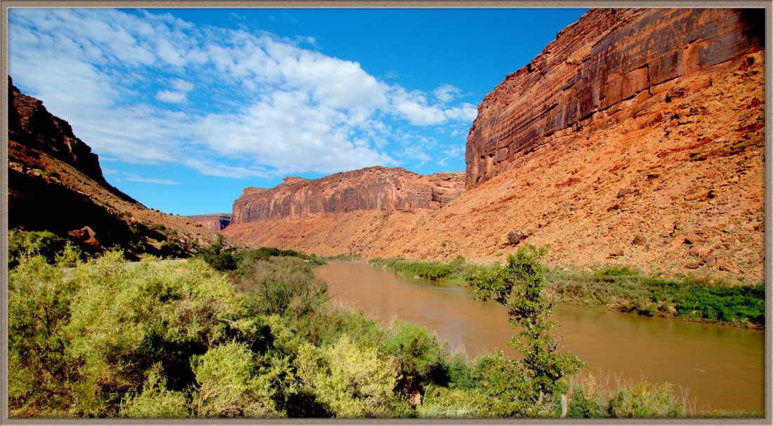
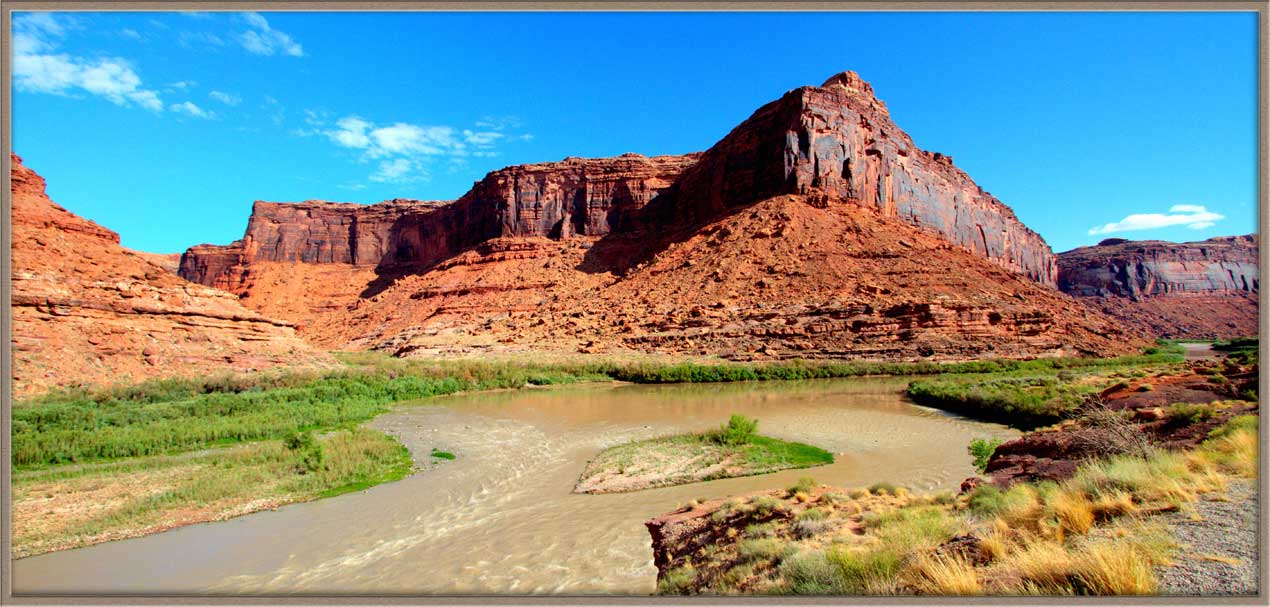
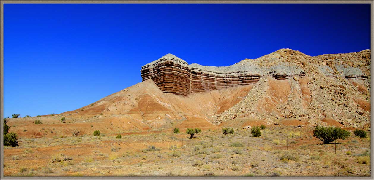
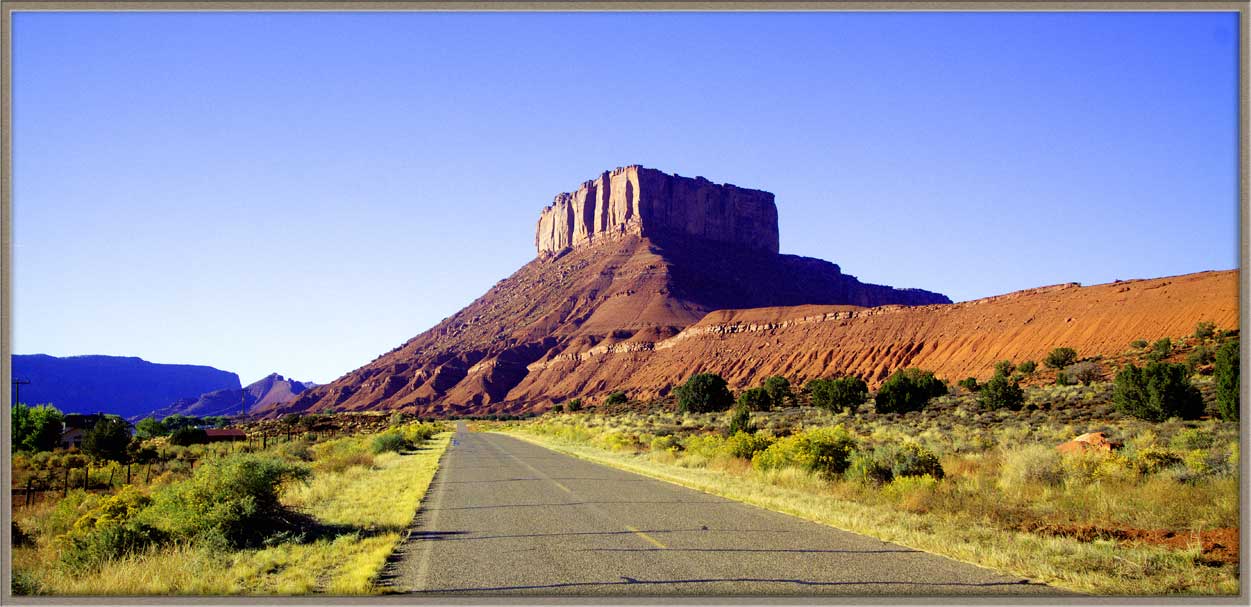
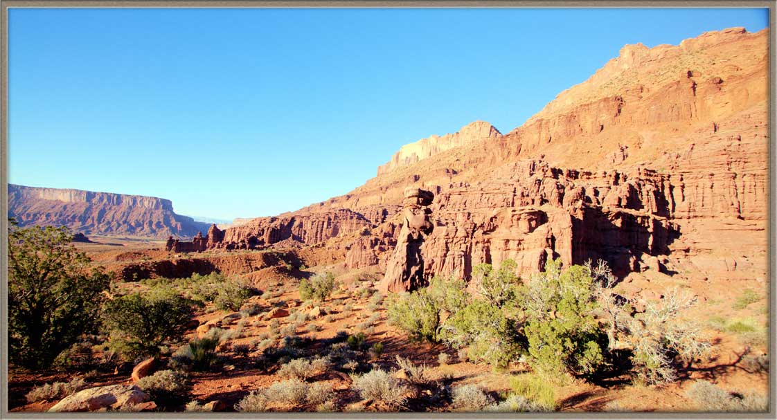
Route 128 takes us through Red Canyon, where a long-winding sections of the Colorado River is flanked by high sandstone cliffs on either side. There are frequent turnouts and overlooks for photographers, and several spectacular vistas.
Several curves along the river have had good-sized recreation areas and campgrounds built for visitors. The largest of these is Big Bend, which has particularly high red sandstone walls and sun-illuminated sandstone massifs at any time of day. However, the cliff scenery is dramatic all along a twenty-mile section of the Colorado here—you can stop for a picture almost anywhere.
Red Canyon Fall 2010
 |
 |
 |
 |
 |
 |
 |
 |
 |
 |
 |
 |
 |
 |
 |
|
Red Canyon Fall 2011
 |
 |
 |
 |
 |
 |
 |
 |
 |
 |
||
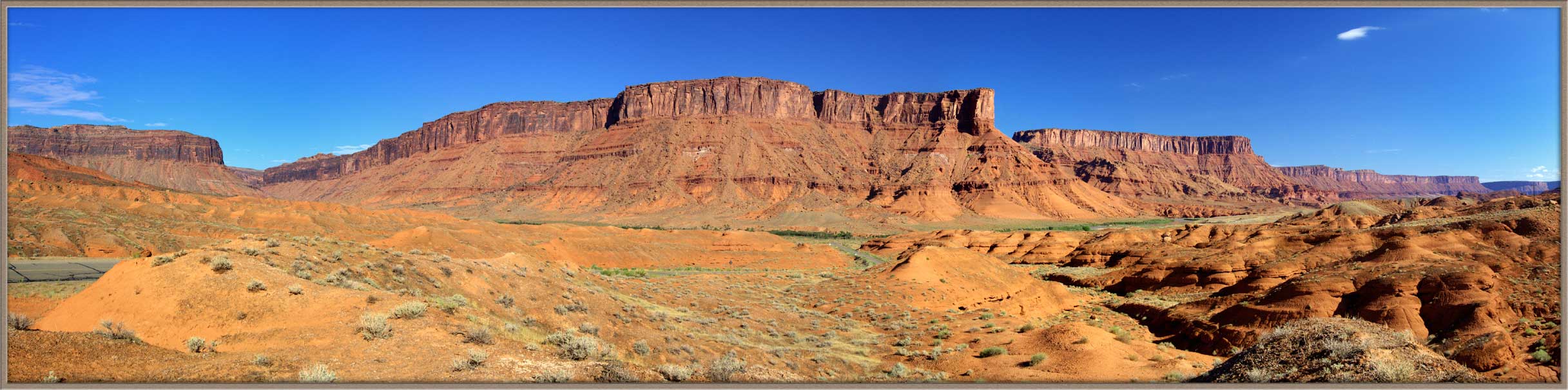
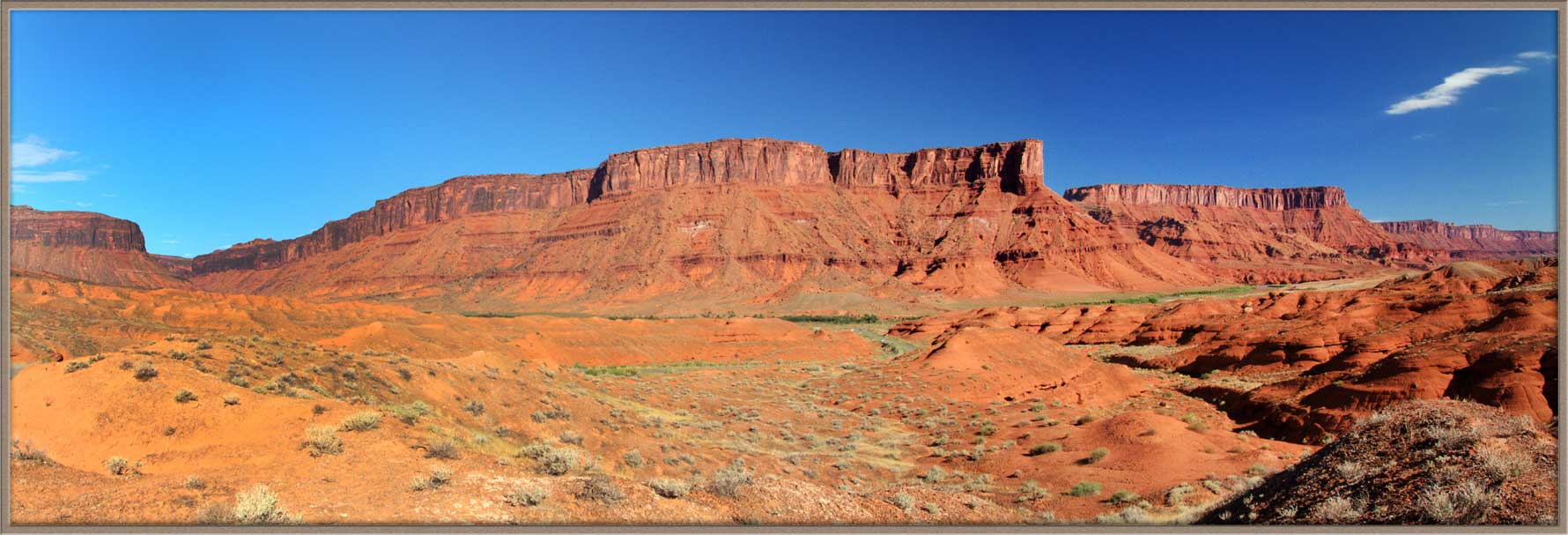
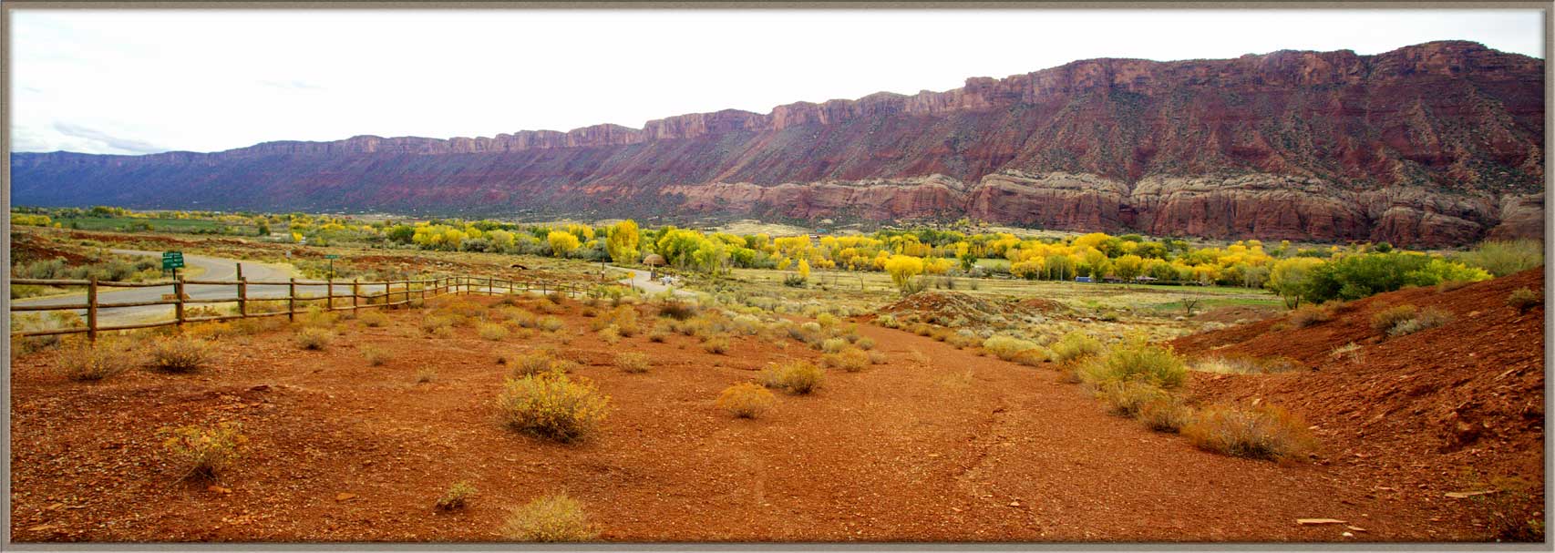
Several miles along the road we come to a scenic curve with a large horseback-riding ranch. This is also where we find the turnoff up into the Manti-LaSal Mountains. A mile up that Road is the village of Castle Valley, with its enormous sandstone formations. When I was there, the trees were changing their finery and the colors were sensational.
Castle Valley Fall 2010
 |
 |
 |
 |
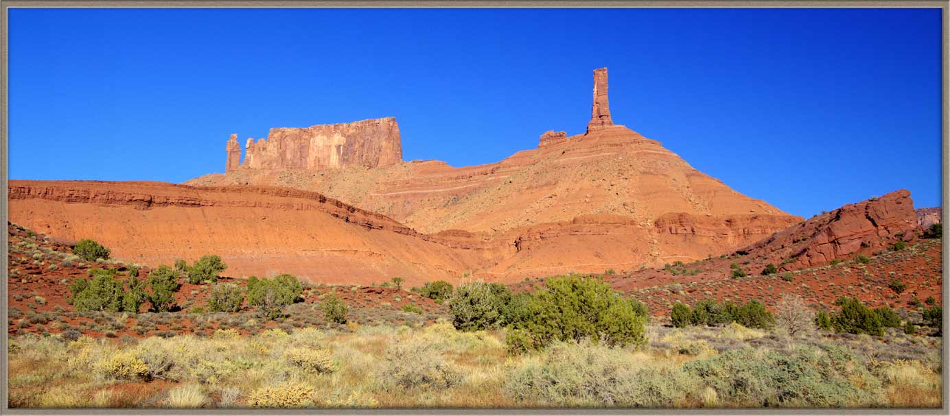
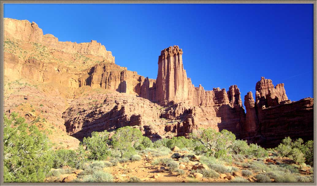
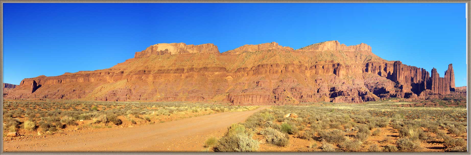
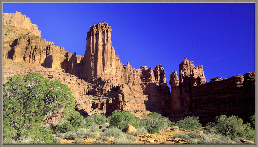
Further up the Road is a turnoff to the South. This dirt road crosses the desert for a mile and leads directly to the western end of the Fisher formation. That section is known as the Fisher Towers, a peaceful spot in the latter part of the afternoon.
Fisher Towers Fall 2010
 |
 |
 |
 |
||||||
As you see in the galleries, a visit in early October can add the Fall foliage to your subject matter. Since this visit was a week or so late in the season (the snow was arriving during my days there), a date the first or second week in October might be perfect.
Having said that, this entire valley --- is immensely rich in color and drama any time.
We download a small library of images to display on each of these gallery pages. That takes a number of seconds, but we think you will very much enjoy the result!
Carl Roessler
P.O. Box 33668
Las Vegas, NV 89133
voice: 702.562.0226