

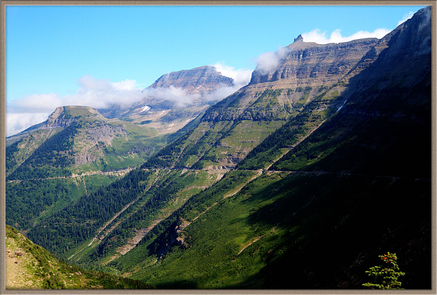
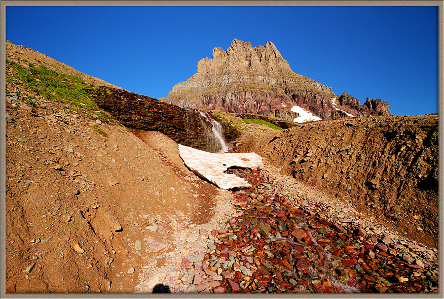
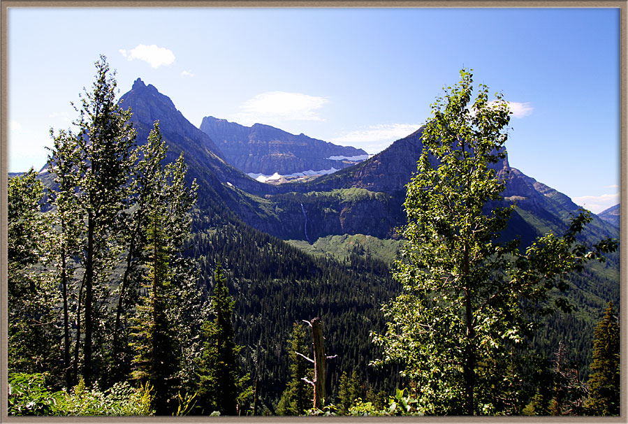
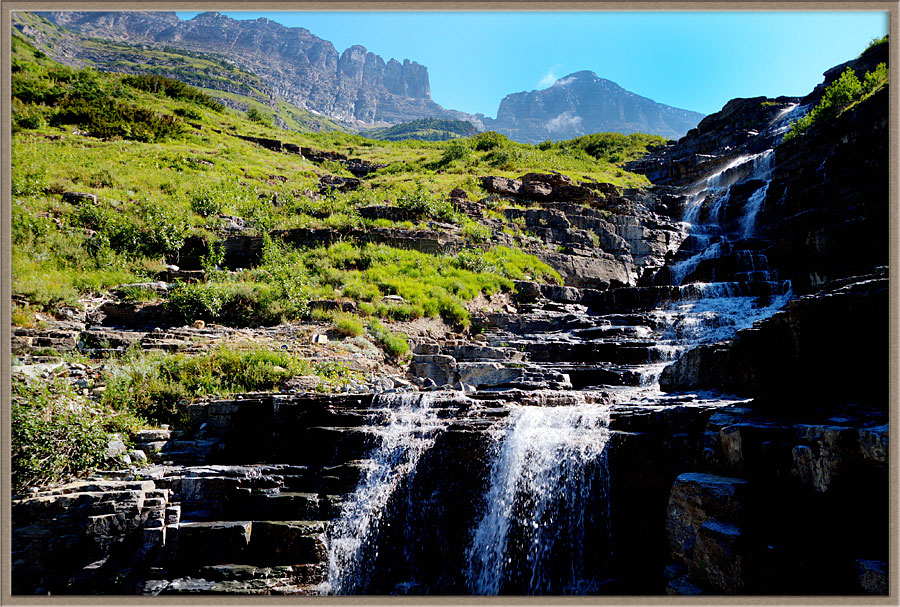
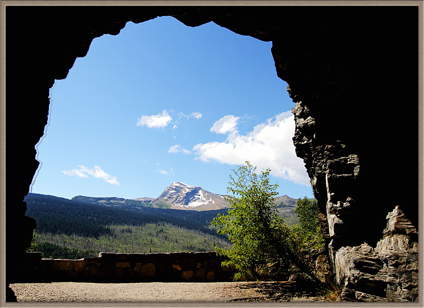
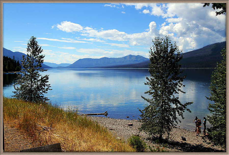
Going To The Sun RoadOnly one road crosses Glacier National Park, carved into immense mountainsides from St. Mary in the East to Apgar and West Glacier in the West. The road was a stupendous effort, constructed during the Great Depression and completed in 1933.When you drive the road, and especially when you look down on it from a helicopter, you can’t help but be struck by the colossal, dangerous effort it required.
The road has many overlooks and vast vistas, plus a myriad of trailheads which allow visitors to hike into areas otherwise completely unreachable.
These galleries are designed to have you appreciate prime sections and attractions along the road, and the visuals you would experience if you drove it.
The National Park Service has an interactive map which lets you zoom in all along the road’s route http://www.nps.gov/glac/index.htm
We download a small library of images to display on each of these gallery pages. That takes a number of seconds, but we think you will very much enjoy the result!
|
||||||||||
|
||||||||||
|
||||||||||
|
||||||||||
|
||||||||||
|
||||||||||
|
||||||||||
|
||||||||||
Carl Roessler
P.O. Box 33668
Las Vegas, NV 89133
voice: 702.562.0226
| Return to Home Page | E-mail: divxprt@cox.net | Photos |
|---|
All material in this Web Site is Copyright © Carl Roessler
2024 - All rights reserved.
Maintenance by Patricia
of Visual Ad Worx
Modified 11.20.24