Carl's
Gallery of
National Parks
Carl's |
|
National Parks |
Arizona |
California |
|
Idaho |
||
Nevada |
Utah |
New Mexico |
Canadian Rockies West |
As soon as Carl saw drones going private, he realized they could be an important new way to explore and present large scenics. In the early days, however, the drones were rudimentary and suited only for do-it-yourself geeks.
With the advent of the Phantom 2 Vision+ this February, the future beckoned. Carl obtained his in July 2014 after a few weeks of flying small quadricopters to learn flight skills.
Learning to use an aerial platform for photography is a process, not an event—much as underwater photography is. There is a learning curve of some steepness to ascend.
Carl hopes to gradually build a library of drone stills and videos and add them to his galleries of scenic places at: https://www.divexprt.com/HDRphotography/HDRPhotography.htmlHe will also be looking for new places to explore with the new techniques.
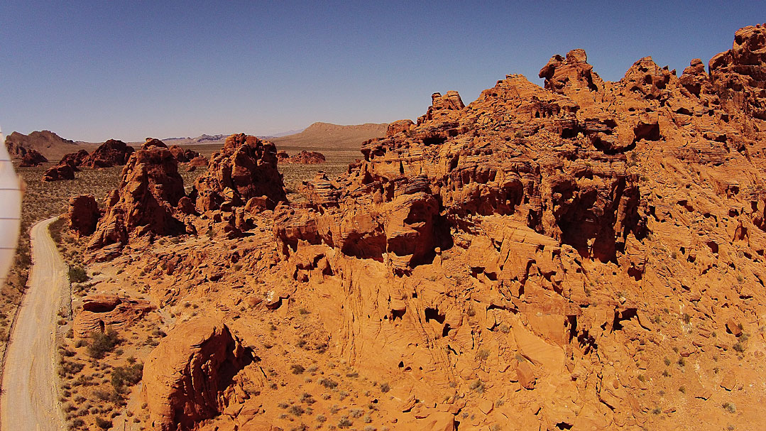
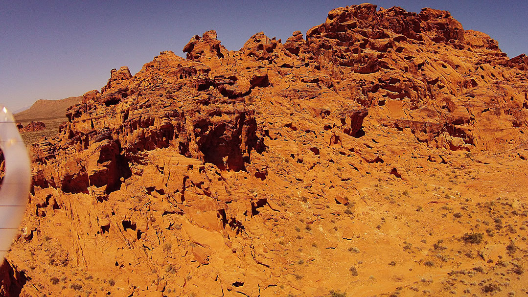
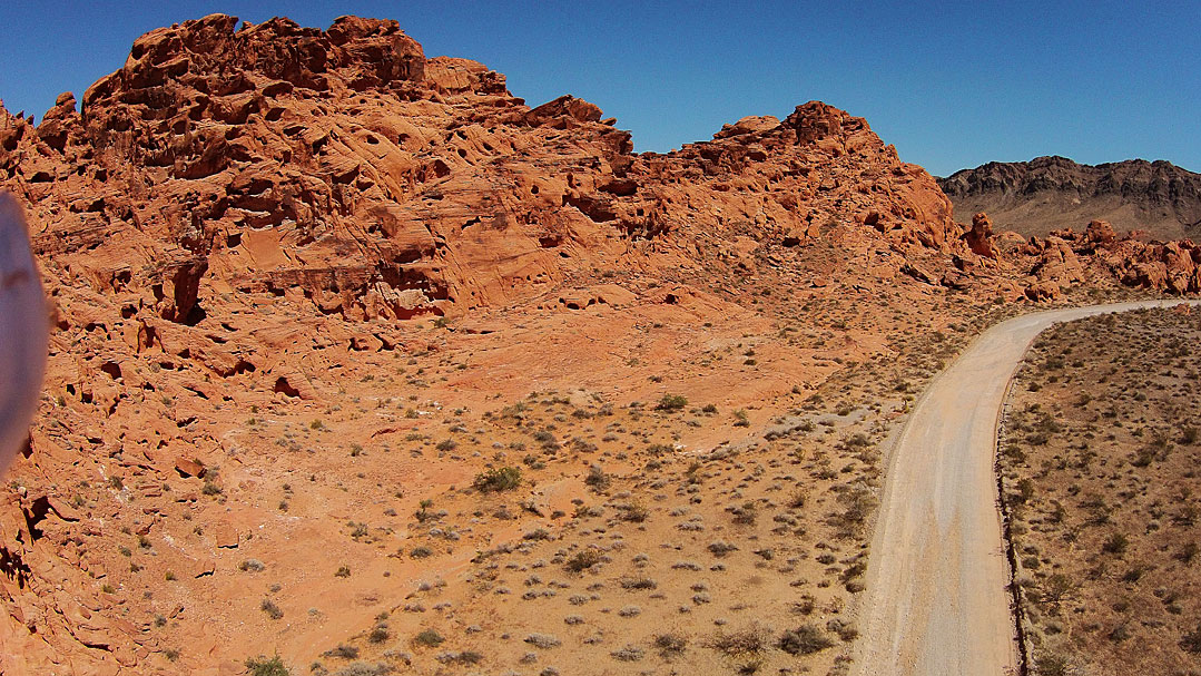
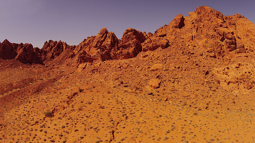
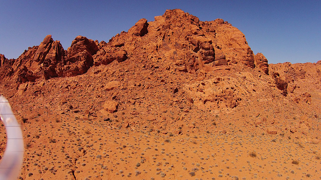
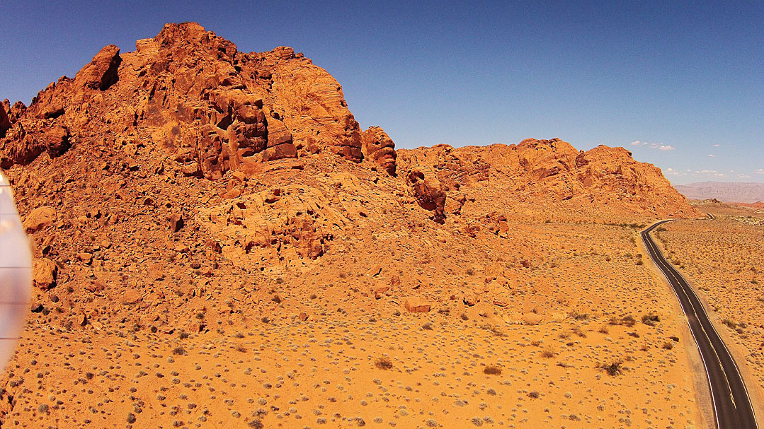
I turned the skids out so that the cameras could see past them and did a test run at the Valley of Fire State Park outside Las Vegas.
More of Valley of Fire:
Atalti Rock
Elephant Rock
Carl Roessler
P.O. Box 33668
Las Vegas, NV 89133
voice: 702.562.0226
fax: 702.562.0227
| Return to Home Page | E-mail Carl Roessler: divxprt@cox.net | Photos |
|---|
All material in this Web Site is Copyright © Carl Roessler
2024 - All rights reserved.
Maintenance by Patricia
of Visual Ad Worx
Modified 07.12.24