Carl's
Gallery of
Drone Videos
Carl's |
|
Drone Videos |
Drones are not allowed in national parks or national monuments. |
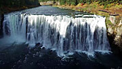
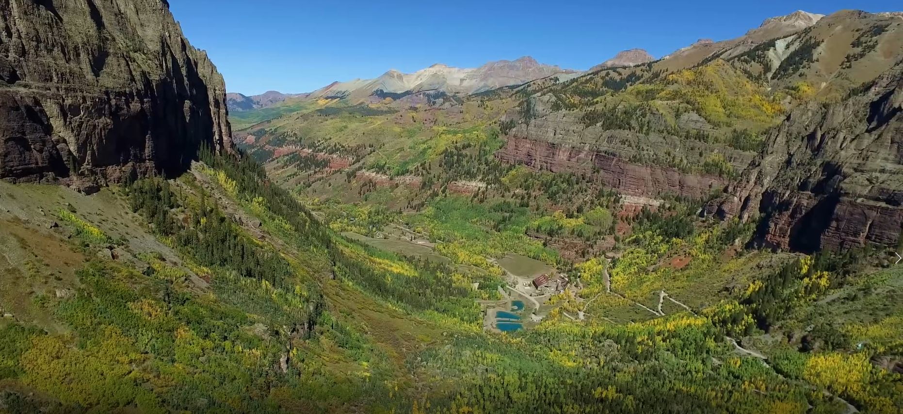
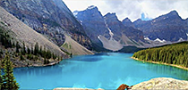
These videos are summaries of my drone adventures during the years 2015 - 2022. I traveled with the drones in twelve states, and display some of the standout sites in these YouTube videos. During the Dawn of Drones for public use, I gradually moved up to better, stronger drones, and hope you enjoy the results!!!
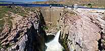
Arizona |
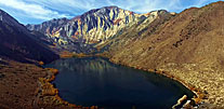
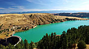
California |
|
Idaho |
||
Nevada |
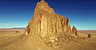
New Mexico |
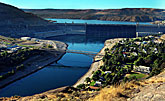
Oregon |
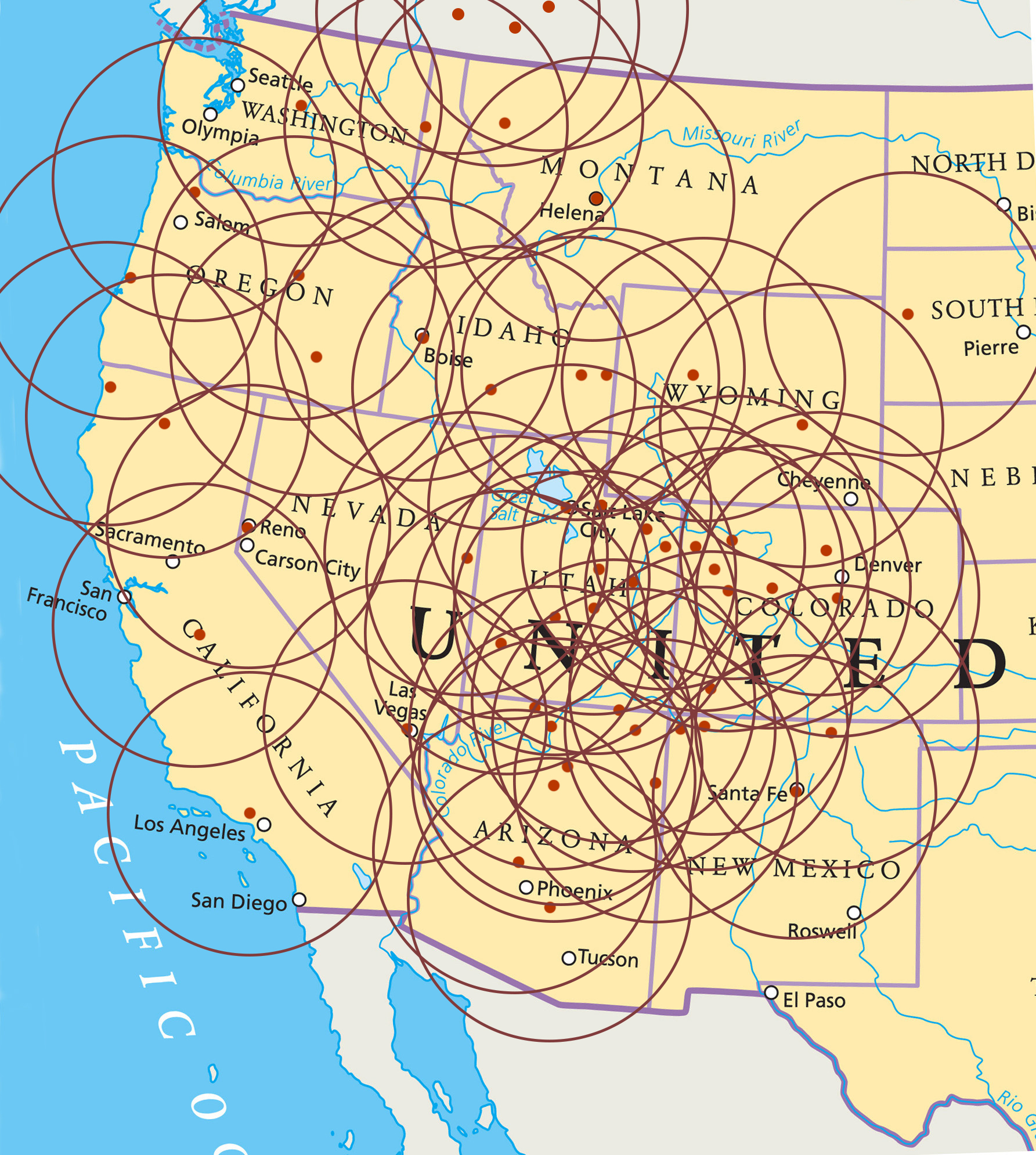
My U. S. Travel History Over The Past Twenty Years!
|
 |
|
 |
 |
 |
 |
 |
|
As soon as Carl saw drones becoming available to the public in February of 2014, he realized they could be an important new way to explore and present large scenic imagery, including many parks he had already visited with his cameras.
In those early days, the drones were small, rudimentary and suited only for backyard flyers and do-it-yourself geeks. They were also very light and subject to being carried away by wind.
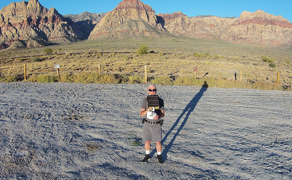
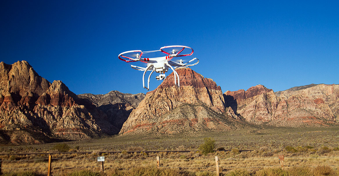
With the advent of the Phantom 2 Vision+ in February of 2014, the drones became a bit stronger and heavier, and the future beckoned. Carl obtained his Phantom in July 2014 after a few weeks of flying smaller quadricopters to learn flight skills.
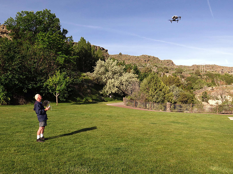
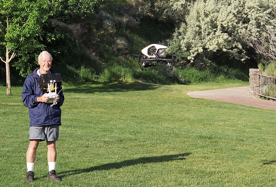
Learning to use an aerial platform for photography is a process, not an event—much as underwater photography is. There is a learning curve of some steepness to ascend. You pay for your mistakes. Dearly. In my earlier career it was flooded cameras, now it is the occasional drone crash.
After the intervening years of rapidly-improving technology, he now uses the DJI Inspire Pro, at nine pounds a much heavier and more stable drone. Over those years he has built a large library of aerial videos, which now cover twelve states. The aerial material will complement his libraries.
Flying drones in Arizona Flying drones in California Flying drones in California’s East Slope Flying drones in Colorado Flying drones among Hot Air Balloons Flying drones in Idaho Flying drones in Montana Flying drones in Nevada Flying drones in New Mexico Flying drones in Oregon
Flying drones in South Dakota Flying drones in Utah Flying drones in Washington Flying drones in Wyoming Flying drones in The Greater Yellowstone Region
Carl Roessler
P.O. Box 33668
Las Vegas, NV 89133
voice: 702.562.0226
fax: 702.562.0227
| Return to Home Page | E-mail Carl Roessler: divxprt@cox.net | Photos |
|---|


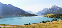
 Canadian Rockies East