California
Please also visit our non-drone galleries at California |
And these are our Drone Galleries
|
|
Lake Tahoe And The Northern Lakes
Summer 2017
|
|
|
|
|
|
|
|
|
|
||
Lake Tahoe is a beautiful, deep lake in a mountain setting. While commercial development has overwhelmed it, there are places of spectacular scenic impact.
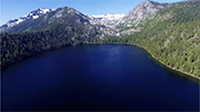
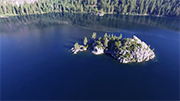
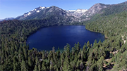
The most captivating is at the southwest corner of the lake (where the ‘89’ indicates the route going around the bay). There, Emerald Bay and Cascade Lake are right next to each other. For a drone pilot, they are irresistible. Eagle Falls looks down on Emerald Bay, and boats gather around Fannette Island.
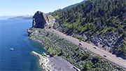
Cave Rock Tunnels are on the East side of the lake, while Donner Lake and the Donner Pass Road leading to Rainbow Bridge are in the northwest corner of the map, West of Truckee.
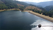
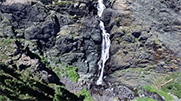
Frazier Falls and the smaller lakes I visited are North of Lake Tahoe, by eighty to one hundred miles—well worth the drive! Mile after mile of mountainous terrain covered with dense forests of tall fir trees make for splendid viewing out over sensational vistas.Frazier Falls tumbles down a steep canyon. The viewing platform is well placed, but with the drone I was able to position the camera somewhat closer.
Northern California
Winter 2015
|
|
Spring & Fall 2016
|
|
Summer 2017
Returning from the southern Oregon coast in the summer of 2017, I spent several days in Redding, near Shasta Lake. I was amazed at the number of spectacular subjects I could reach driving from here.
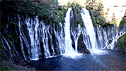
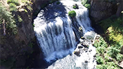
The two magnificent waterfalls, McCloud Middle Falls and McArthur-Burney Falls, required flying down into the deep gorges in which they fell. Drone pilots are used to flying up, not down, so these flights took a bit of mental gymnastics. Lake Britton, which feeds the flow to McArthur Burney Falls, was also a dramatic subject.
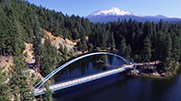
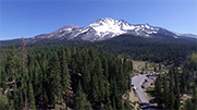
Then there was the impact of immense Mount Shasta, visible for many miles around, towering above the landscape. Siskyou Lake offered a nice view combining lake and peak, even a charming pedestrian bridge!
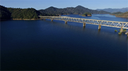
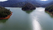
Lake Shasta is huge, with the impressive I-5 Bridge and several river-carved canyons—actually. Long canyons carved by rivers, now filled with water backed up by Shasta Dam. These long bays off the main lake are called ‘arms.’ I spent drone-flying time at Hirz Beach and McCloud Point, which are in the arm named for the McCloud River—which comes down from McCloud Falls. It is the long arm in the center-right of the map.
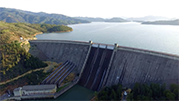
Whiskeytown Lake and the Trinity Dam with its lake are found West of Redding, and are reached by easy drives. I got so carried away strafing speed boats that I almost flew into the power lines at Whiskeytown Bay.In the following year, many of those places were destroyed in the Carr Fire. Whiskeytown Lake and other spectacular locales were surrounded by the flames.
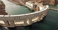
I made a drive to Oroville, to attempt aerials of the gigantic dam which was threatened by the raging Spring floods which demolished one of its spillways. The entire dam is a construction site, however, and all around it is off limit to visitors. The best I could do was the fish hatchery down river, and flying to get a distant view of the 900-hundred-foot dam.
Finally, I drove East to Lassen Peak, another volcano offering quite spectacular imagery.
Few places I have visited offered such an impressive array of stunning, powerful subjects.

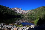
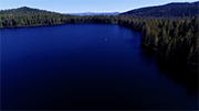
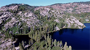

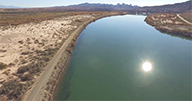

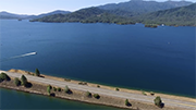
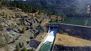
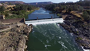
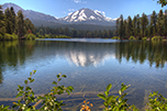
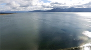
 Lake Almanor